Posts

Confluence image:

Image
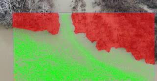
4K images dozen of meters above water surface allow for tracking the flow speed in this confluence, the change in velocity determines the driving forces (Newton´s 2nd Law) and the prediction of effects and control measurements. Drone videos and further image processing are affordable tools for real scale studies.
First flow rise tests:

Image
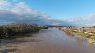
4K  Images during this year first rise, flights were stable and the resolution pretty much fine.

Topographic mapping with drones:

Limitations, accuracy, Ground Control Points support, Structure from Motion, what can be done at the moment ? Latest research available at:  https://www.mdpi.com/journal/drones/special_issues/DroTop

First drill:

Image
No wind, clear sky, and all dry for the moment. As you can guess ... the first drill is to fly below the bridge, go and return !

First steps, Jan 2019

Image
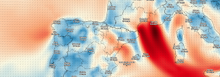
Testing a DJI Mavic 2 Zoom to feel familiar with stable heights, angles and video parameters, although January is usually windy at Saragosse and wind speeds over 10 m/s are not secure, as happens now; current wind speed map provided by darksky.net .