Limitations, accuracy, Ground Control Points support, Structure from Motion, what can be done at the moment ? Latest research available at: https://www.mdpi.com/journal/drones/special_issues/DroTop
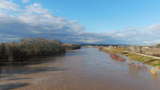
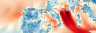
Testing a DJI Mavic 2 Zoom to feel familiar with stable heights, angles and video parameters, although January is usually windy at Saragosse and wind speeds over 10 m/s are not secure, as happens now; current wind speed map provided by darksky.net .